Outdooractive
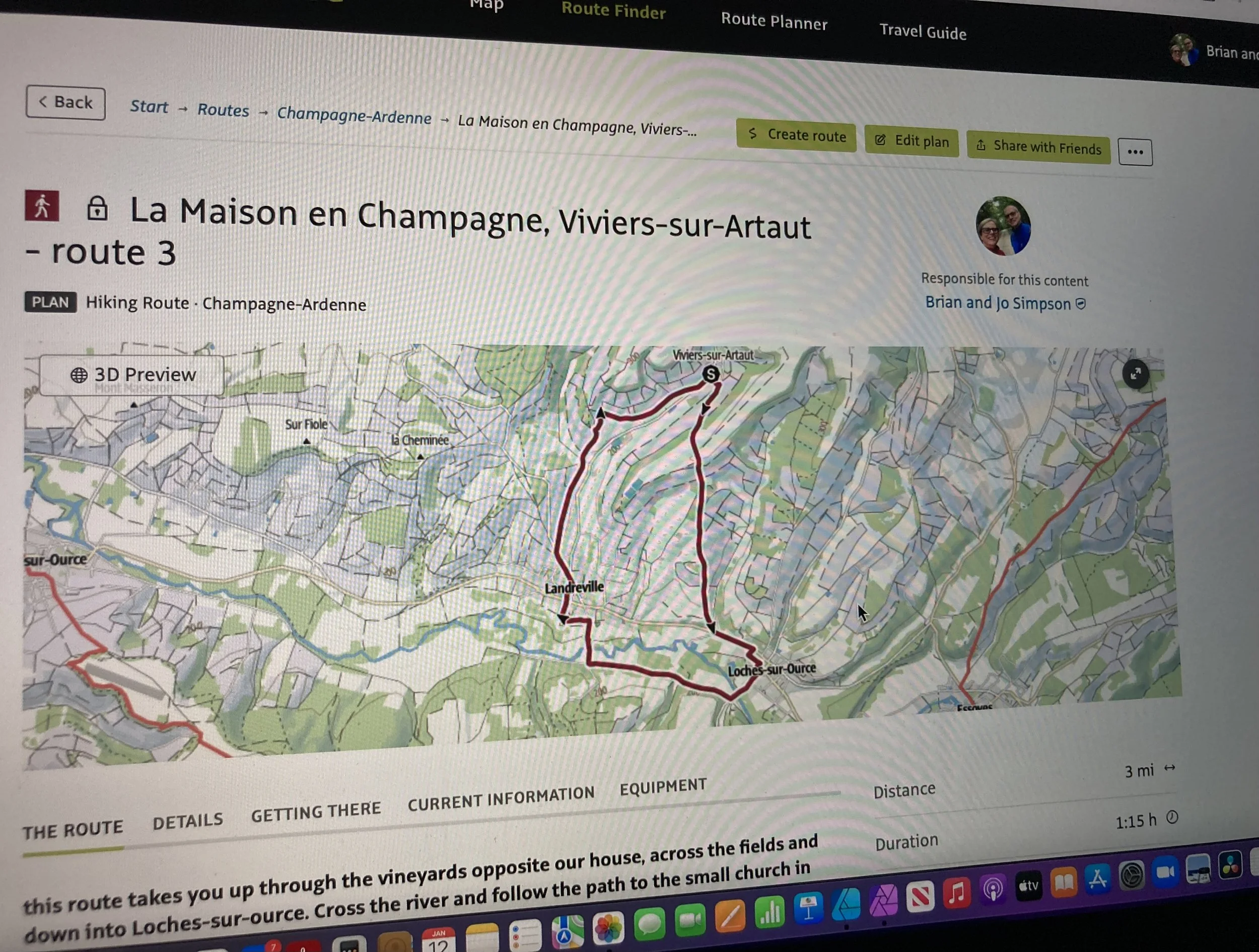
We’ve had some very cold nights this week, it was -4°c last night. The days though have been bright and sunny, so the air does warm up during the day, ideal for going for a walk. So I thought I would map out a walk for us on the computer in ‘Outdooractive’, then we can walk it tomorrow following the route on the app.
All the IGN maps of France are available on the app, which are similar to the OS (ordnance survey) maps in the UK, and it’s very easy to use. I can see the paths I want to use, so have marked some points along the route which the site then automatically joins together. It tells me how far the route is, how much is on footpaths, and how much is on roads, also the elevations.

Once I’d mapped the route, I then converted this into my hiking route, which I could name and provide a short explanation for. This then enables others to find the route on the website or app.